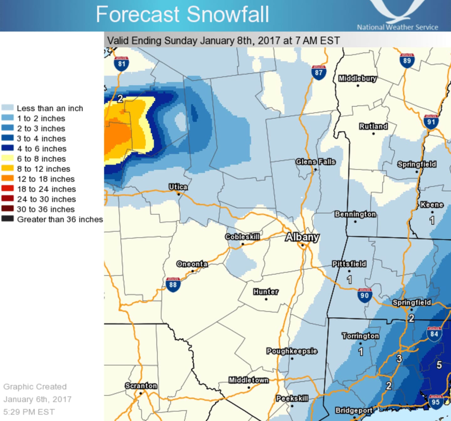
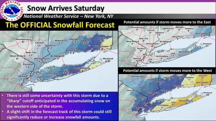
The storm could produce anywhere from a dusting to up to 4 inches in parts of the Hudson Valley depending on the track, according to the National Weather Service.
Areas farther south and east have the potential to receive the most accumulation. Areas farther north, including North Rockland, Northern Westchester, Putnam and Dutchess should see no more than an inch of accumulation unless the storm tracks much farther west.
A track to the west could result in the higher totals of 3 inches in Putnam and Rockland and up to the 4 inches noted in parts of Westchester. (See charts above).
The snow chance for Saturday starts at around 9 a.m. during another frigid day in which the high temperature will struggle to get above 25, with wind-chill values between 5 and 15 degrees.
The snow chance continues until around 9 p.m. Saturday.
The outlook for Sunday calls for mostly sunny skies with a high around 25.
Check back to Daily Voice for updates.
Click here to follow Daily Voice Southwest Dutchess and receive free news updates.