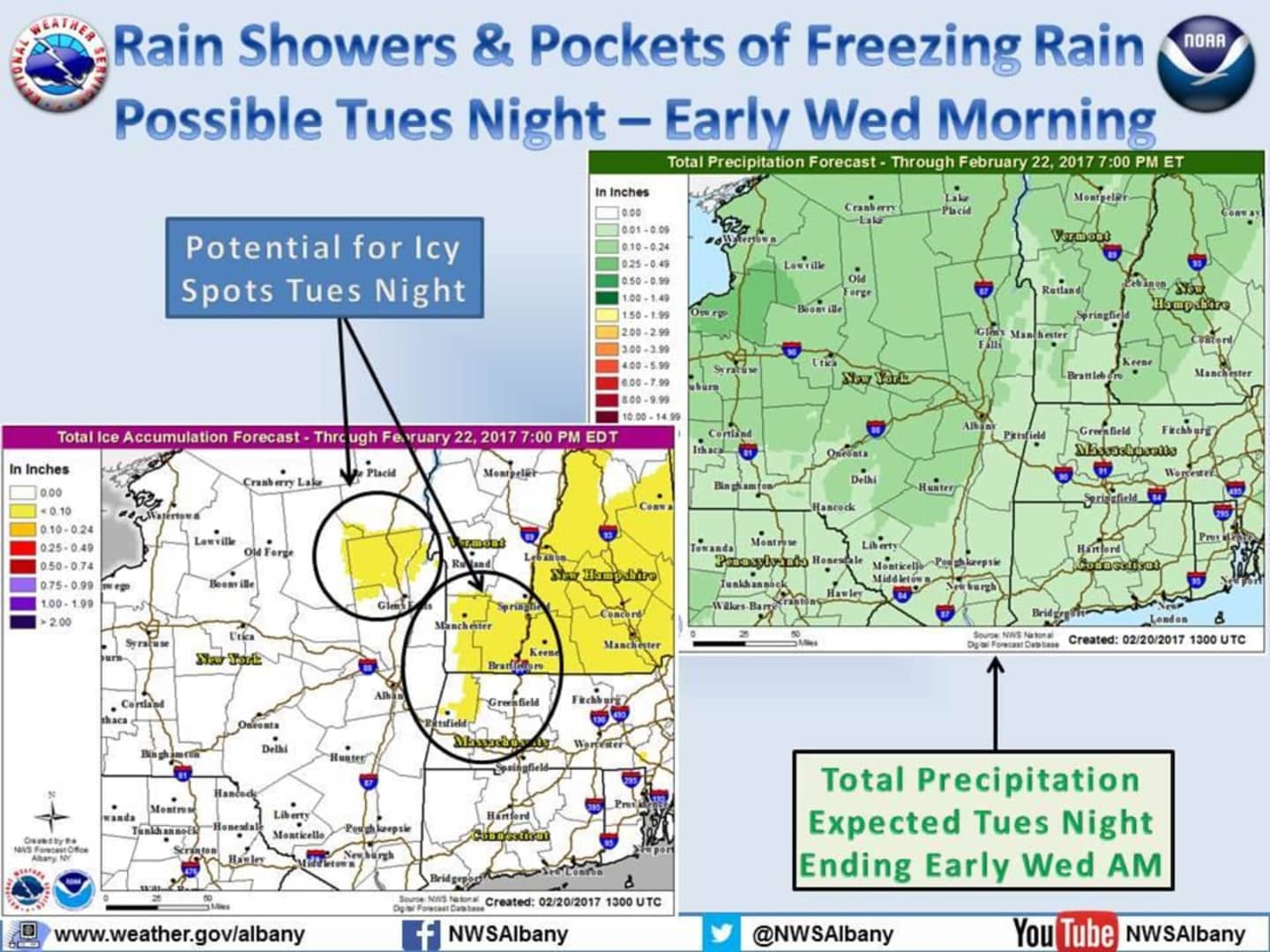
In a Hazardous Weather Outlook issued early Tuesday, the National Weather Service said the light mix, including freezing rain or freezing drizzle, could fall late Tuesday night into early Wednesday morning, especially in the northern and eastern parts of Dutchess.
Tuesday's daytime high will be in the mid-40s with mostly sunny skies and calm winds.
The chance for freezing rain and icy spots will be in the predawn hours until about 7 a.m. Wednesday.
Wednesday will be a partly sunny day with the high temperature climbing to the mid-50s. There is a chance of showers between 7 a.m. and 1 p.m.
Thursday's high temperature could reach as high as 64 degrees during a partly sunny day.
Showers are likely Friday with a high in the upper 50s.
There is a chance for locally heavy rain Saturday, which combined with snow melt, could result in some rivers rising to action stage or approaching minor flood stage through Sunday, the weather service said.
Strong gusty winds are also possible Saturday night and Sunday.
Click here to follow Daily Voice Southwest Dutchess and receive free news updates.